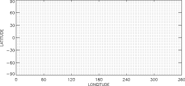
Variables in the database are written on an equally spaced horizontal grid
of 96 longitude points numbered from 0![]() to 356.25
to 356.25![]() East in
steps of
East in
steps of ![]() and 48 latitude points numbered from -88.125
and 48 latitude points numbered from -88.125![]() to 88.125
to 88.125![]() in steps of 3.75
in steps of 3.75![]() (latitudes South of the equator
are indicated by negative numbers). See Figure 1.
(latitudes South of the equator
are indicated by negative numbers). See Figure 1.
The database vertical coordinate is defined as
| (1) |
| Approximate Height | Approximate Height | ||
| 0.9995000 | 5m | 0.2039437 | 15.9km |
| 0.9980984 | 19m | 0.1235681 | 20.9km |
| 0.9955622 | 44m | 0.0716660 | 26.4km |
| 0.9909766 | 91m | 0.0403225 | 32.1km |
| 0.9827373 | 174m | 0.0221810 | 38.1km |
| 0.9680972 | 324m | 0.0119545 | 44.3km |
| 0.9425909 | 591m | 0.0062904 | 50.7km |
| 0.8996294 | 1.1km | 0.0031992 | 57.4km |
| 0.8311734 | 1.8km | 0.0015417 | 64.7km |
| 0.7310061 | 3.2km | 0.0006778 | 73.0km |
| 0.6009113 | 5.1km | 0.0002497 | 83.0km |
| 0.4552628 | 7.9km | 0.0000563 | 97.8km |
| 0.3166897 | 11.5km |
 |
Data are stored in the database 12 times per Martian day using prime
meridian time, not local time. At universal time level 1 the local time at
0![]() longitude is 12pm (given that the Martian day is 24 ``hours''
long). Hence at 90
longitude is 12pm (given that the Martian day is 24 ``hours''
long). Hence at 90![]() longitude it is 6am, at 180
longitude it is 6am, at 180![]() it is 12am
etc. At time level 2 the local time at 0
it is 12am
etc. At time level 2 the local time at 0![]() is 2am, etc.. All times
are True Solar Times, not Mean Solar Time. Prime Meridian Time can be
computed from local time and longitude using the following FORTRAN commands
(see routine atime.f in the appended code listing).
is 2am, etc.. All times
are True Solar Times, not Mean Solar Time. Prime Meridian Time can be
computed from local time and longitude using the following FORTRAN commands
(see routine atime.f in the appended code listing).
iut=mod(nint(-longitude/30.+localtime/2.+12.),12)+1
pmtime=float(iut)
if (iut.eq.13) pmtime=1.0